
Firesteel River
12.8 miles
September 2025


Like all rivers in the Western U.P., the Firesteel River was long on my list of routes to paddle. Problem is, it doesn't often have enough water to float the entire thing. There are few reports out there of how much is enough to run it, how long it's runnable for, and the usual data points that make or break an adventure.
Finally, in the fall of 2025 I found a window. It had stormed HARD for about two days in the Ontonagon region and I was sure that all rivers in the area would be running high... but not for long. Being towards the top of my list and with a fairly small watershed, the Firesteel was my #1 target. There are no gauges on this river so I was winging it.
I put in at the Wildnerness Road bridge crossing and began my journey (solo, of course). The first 3.5-4 miles or so had a few small rapids here and there. Nothing too challenging! Then right about at the 4-mile mark and continuing for the next SIX MILES was a long string of Class-II rapids. It was a blast! Nothing felt too scary, and with experience and the right style of kayak or canoe anyone should be able to enjoy. The miles zipped past, as did several impressive sandstone walls along the riverbanks. I didn't catch any photos in the rapids because there were few opportunities to stop besides a few slow downs where trees blocked my path.
Unfortunately for the Firesteel, once the rapids ran out around mile 10 you still have 2.5 miles of totally dead flat water until you reach the take out at Lakeshore Drive. I paddled out to Lake Superior but it was too foggy to see anything. I've heard the views back towards the Porkies are gorgeous. The entire river corridor had only two signs of human disturbance throughout (old bridge pilings and one old road crossing). Otherwise it's totally wild and worth the trip if you can catch enough water! Coincidentally, a pair of canoes had passed by the day prior based on markings on a few sandbars I crossed. I was not the only one watching the water levels out there.
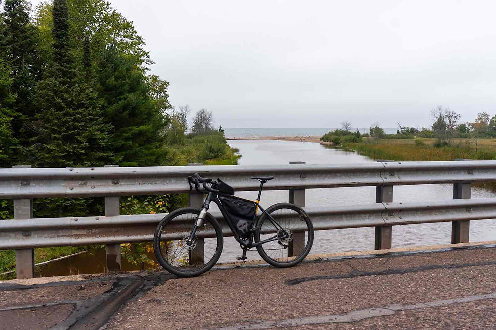
Being the solo adventurer I am, I self-shuttled the reverse way this trip. I left my kayak at the top, drove to the end, then biked back up to my kayak to start the adventure. This saved me about half an hour of driving around in circles.
Find more photos from this adventure here: https://flic.kr/s/aHBqjCzS4P